
wildlife
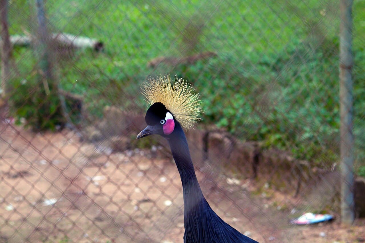
Jos Wildlife Park
Eight square kilometres of conserved bush on the Miango road, and the closest thing Jos has to a full day out in the wild.
9°53.12'N 8°50.92'EUnverified
7 sites
The Plateau is granite country. It rises to somewhere close to 1,800 metres at the top of the Shere Hills, drops over waterfalls at Assop and Kurra, and stacks boulders at Riyom into the formation that ended up on the postcards. Most of it is walkable. None of it is signposted.
wildlife
Eight square kilometres of conserved bush on the Miango road, and the closest thing Jos has to a full day out in the wild.
9°53.12'N 8°50.92'EUnverified
nature
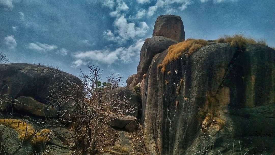
The range east of the city. Hiking, scrambling, and the view that explains why Jos sits where it does.
~ 9°55.20'N 8°58.80'EUnverified
nature
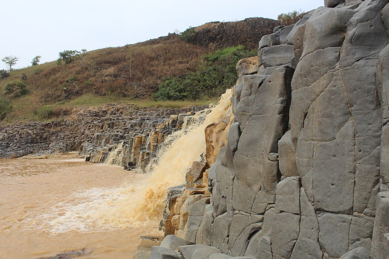
The stacked boulder formation that ended up on the state crest. Plateau's most recognisable silhouette.
~ 9°37.20'N 8°45.00'EUnverified
nature
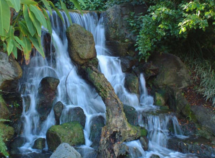
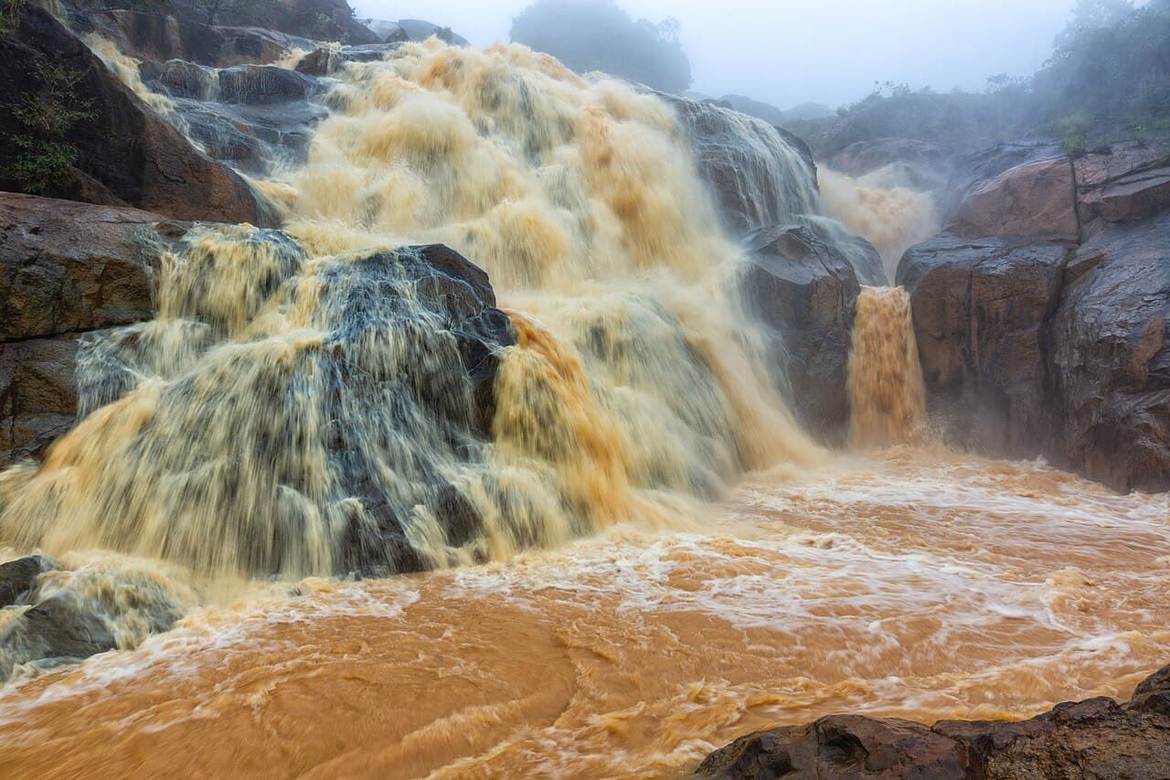
About seventy kilometres out on the Kagoro road, draining the Assop River over a broad rock shelf.
No fix on recordUnverified
nature
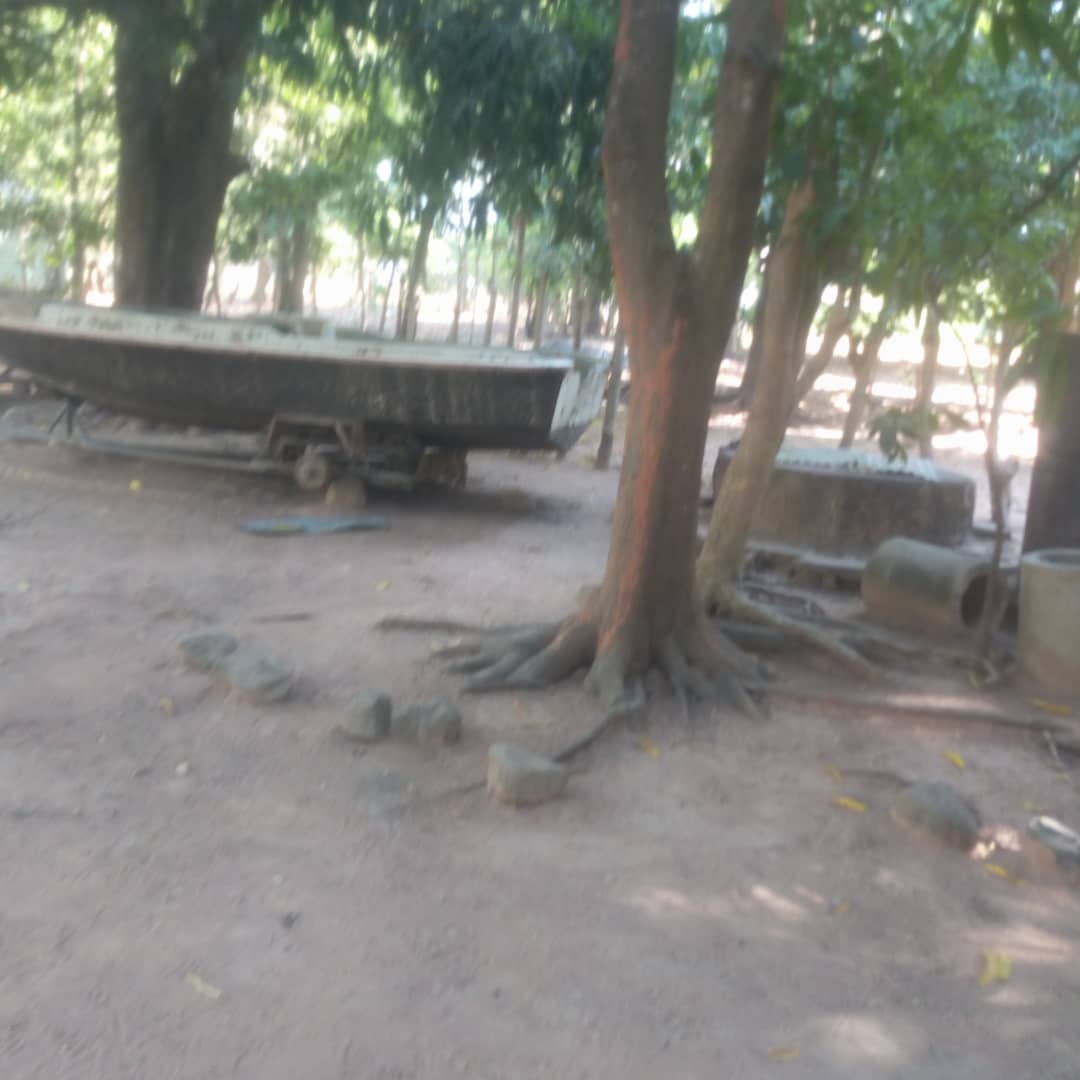
A colonial-era hydro site near Vom. The plant is long past its working life; the setting is the reason to come.
No fix on recordUnverified
wildlife
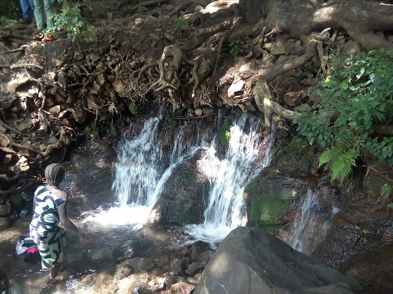
224 square kilometres of savanna, marsh and forest in the south of the state. Hippo and birdlife on Pandam Lake.
No fix on recordUnverified
nature
The volcanic country that produces the state's spring water, and the site of a signed tourism development deal.
No fix on recordUnverified
Every itinerary on this site is timed to finish in daylight, and the finishing time is printed on each one.